Big Drop in Temperatures for El Paso By The End of This Week
You might want to adjust your week's plans as it appears monsoon isn't done with us.
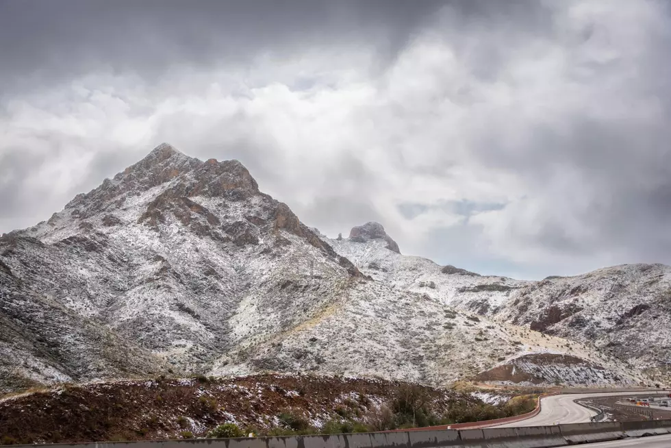
El Paso's rainy season typically runs June to September, and this year it looks like it plans to stay to the very end. According to the National Weather Service El Paso, a system headed our way could fuel “widespread rain chances” and “well below normal high temperatures” towards the end of the work week.

If the current pattern holds, rain will fall on El Paso and the region beginning Thursday, September 30, and ending Friday evening. Some thunderstorms could be locally heavy, so if you live in an area that’s prone to flooding it’s best to prepare for the worst and stock up on sandbags before Thursday.
But don't get too excited about the "well below normal" highs.
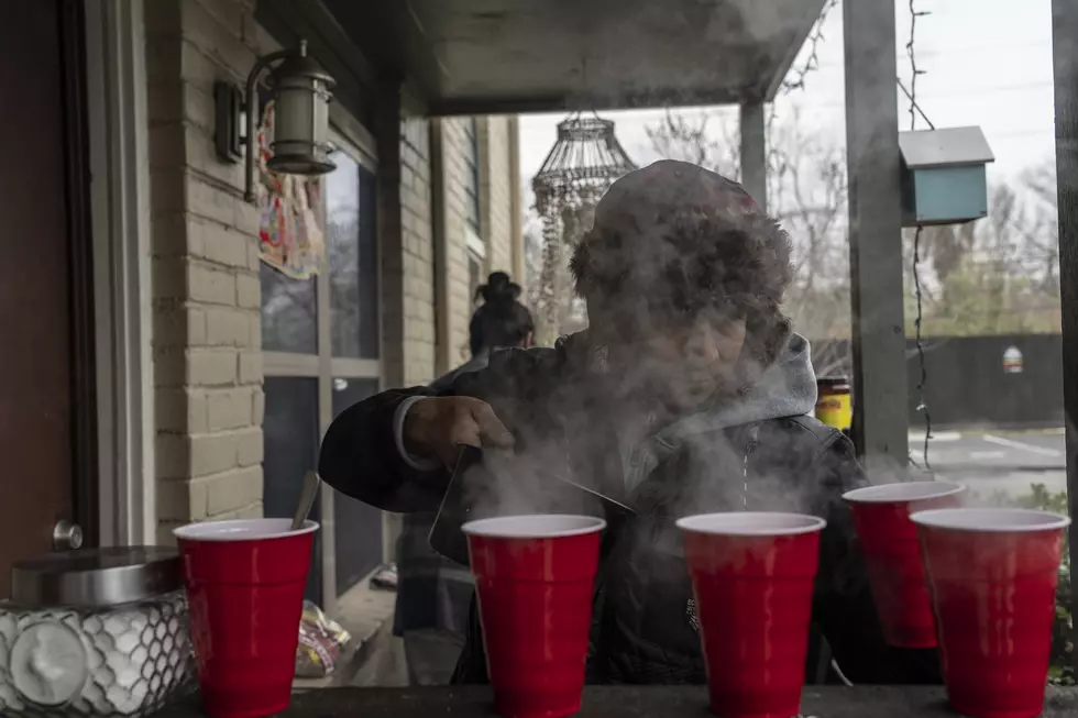
They don't mean puffy jacket, leggings, and knee-high boots. The anticipated highs Friday through Sunday are mid to upper 70s, so more like hoodie, shorts and UGG boots. But caldo is definitely on the menu.
Here's how the National Weather Service El Paso sees the week play out:
•Thursday 9/30: 50 percent chance of showers and thunderstorms.
•Friday 10/1: Showers and thunderstorms likely. 40-50% chance. High near 73
•Saturday 10/2 and Sunday 10/3: 10 percent chance with highs in the upper 70s
City of El Paso Free Sandbag Distribution Sites
Stormwater Operations Center - 4801 Fred Wilson Ave.
Mon - Sun: 8 a.m. - 8 p.m. through Oct. 15
Artcraft Booster Station - 7830 Paseo Del Norte (across from West Town Marketplace)
Mon - Sun: 8 a.m. - 8 p.m. (through Oct. 15 or until supplies last)
Blackie Chesher Park - 9292 Escobar Drive
Mon - Sun: 8 a.m. - 8 p.m. (through Oct. 15 or until supplies last)
LOOK: Things from the year you were born that don't exist anymore
More From 93.1 KISS FM


