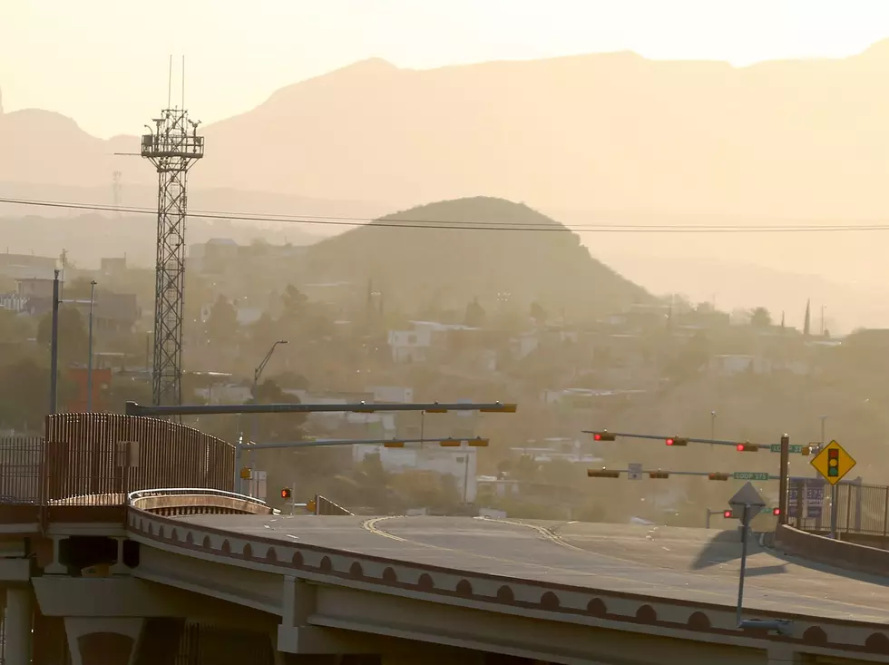
This is What the Recent El Paso Dust Storm Looked Like From Space
El Paso springtime winds are no joke. When it gets windy, chances are it is also going to get dusty up in here. That’s what happens when you live in the desert.
But just how strong and long-lasting was the dust storm that blew through El Paso on March 16?

Not only was it fierce enough to temporarily erase the Franklin Mountains from our view, take out most of the light bulbs that make up the Star on the Mountain, and cause a few power outages across the city, the gusty springtime winds kicked up so much dust that the cloud of sand it produced was visible from a NASA satellite flying miles above Earth. Check out the photo below.
The image of the dust storm was taken by the NOAA-NASA Suomi NPP satellite in the early afternoon on March 16, 2021, per the NASA Earth Observatory website.
The photo shows just how large of a storm it was, beginning in the Chihuahuan Desert and cutting a dusty path through West Texas and Southern New Mexico.
According to Thomas Gill, a University of Texas–El Paso geology professor quoted by the website, “due to the relatively slow passage of the cyclone across New Mexico, El Paso experienced dusty weather basically for eight hours nonstop—more than twice as long as the historical average for dust events in the city—and until well after dark.”
Unmistakable Signs It's Springtime in El Paso
LOOK: The most expensive weather and climate disasters in recent decades
More From 93.1 KISS FM


