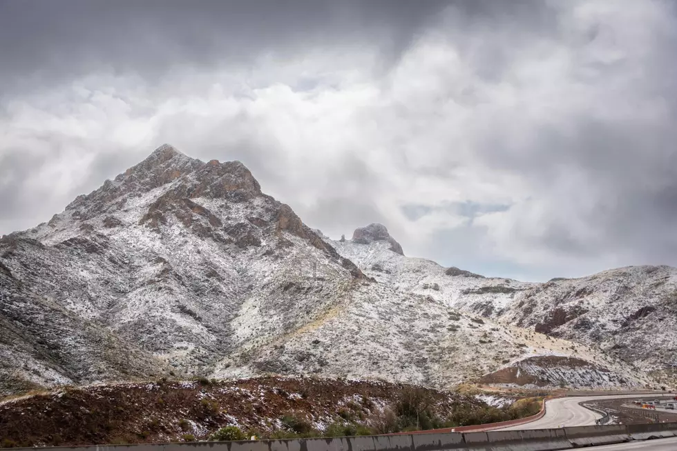

WINTER WEATHER ALERT: Snow Predicted For Thursday And Friday
We've been enjoying really unseasonably warm weather for most of the early part of this winter, with highs in the 60's much of the time, but that's all about to change!
Our news partners at ABC 7 are forecasting 30% chance of snow on Thursday, and a 10% chance on Friday. The National Weather Service has even issued a Winter Storm Watch, so you know that means it's time to stock up on PopTarts and water!
"...The National Weather Service in El Paso TX/Santa Teresa has issued a Winter Storm Watch...which is in effect from Thursday morning through Friday morning.
- Event: moderate to heavy snow with accumulations of 2 to 5 inches of snow
- timing: snowfall is expected to begin Thursday morning and last off and on through Friday morning
- impact: hazardous travel conditions could develop across the area with reduced visibilities in falling snow and areas of blowing snow. Road surfaces could become snow and ice packed.
- Winds: east winds 10 to 20 mph on Thursday morning and then will slow some...as the snow begins...to 5 to 15 mph Thursday afternoon.
- Snow levels: a cold air mass will be in place so snow levels will be down to the desert floor for all locations. Precautionary/preparedness actions... A Winter Storm Watch means there is a potential for significant snow accumulations that may impact travel. Continue to monitor the latest forecasts.
You're still reading? Why aren't you on your way to the store for supplies?!
Keep your work and car radio tuned to 93.1 KISS FM, and keep an eye online at kisselpaso.com, as well as on our KISS El Paso Facebook and Mike and Tricia Facebook pages, for up-to-date weather information.
More From 93.1 KISS FM